Tag Archives: SatelliteNavigation
UK reportedly plans its own satellite navigation system
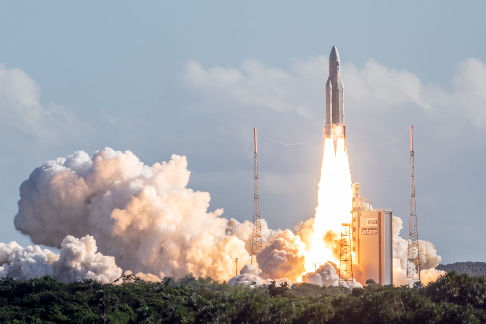 Now that the UK likely won't be involved in the EU's Galileo positioning satellites, it's in a tough spot. How does it get the most accurate navigation technology it can once Brexit is official? By building its own satellite network, apparently. S...
The automated in-car navigator that predated satellites
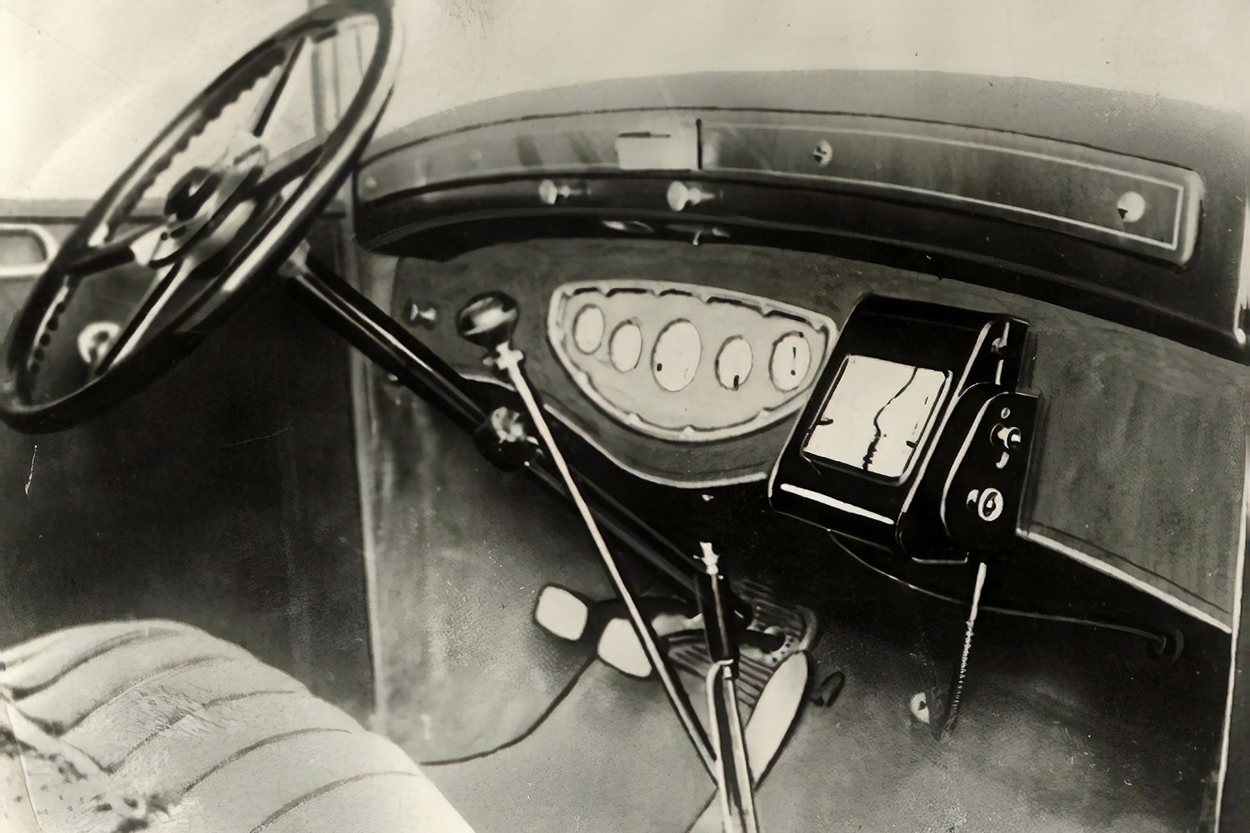 Standalone navigation devices are a dying breed. These days vehicles tend to have navigators plumbed into their dashboards, and as long as there's a smartphone to hand... well, there's an app for that. Demand for the devices nosedived years ago, but...
China launches GPS-like Beidou satellite services across Asia-Pacific region

China has kicked off commercial and public services of its Beidou satellite navigation system across the Asia-Pacific rim in earnest, after finishing trials it started last year. Civilians in the region as far away as Australia are now able to navigate using the satellites to a distance of 30 feet and speeds as low as 0.5 mph -- comparable to (WAAS-less) GPS, according to officials. Currently the nation has 16 navigation satellites aloft along with four experimental models, and expects to provide worldwide coverage by 2020 when it'll have as many as 40 additional units in orbit, according to China Daily. China launched the project in 2000 to avoid reliance on the US GPS system, and joins that service, Russia's GLONASS and eventually Galileo in the EU at the sat nav soirée. Check the source for the party line.
[Image credit: Xinhua]
Filed under: GPS
Via: Space War
Source: China Daily
New Magellan RoadMate GPS units navigate by landmarks, steer clear of pesky traffic cameras

It's been a long while since Magellan comprehensively updated its RoadMate GPS mapping units, so the company's making up for lost time in style by introducing no less than seven new models in one shot. The RoadMate 2210, 2210T, 2220-LM, 2230T-LM, 5220-LM, 5230T-LM (pictured) and 5235T-LM all bring in a new Landmark Guidance option to give directions based on landmarks, not just those occasionally impenetrable street numbers. Traffic Camera Alerts are just as new and help you stay on the sunny side of the law when speed cameras and traffic light cameras are nearby, albeit at the cost of $30 a year after the first year is up. As Magellan is wont to do, the new GPS range is dictated by screen size and what features you'll get for life: the 2200- and 5200-series units carry respective 4.3- and 5-inch screens, while the LM and T badges signify lifetime map updates and traffic alerts. The range's prices start off at $100 for a RoadMate 2210 and scale up to $170 for a fully decked-out 5235T-LM.
New Magellan RoadMate GPS units navigate by landmarks, steer clear of pesky traffic cameras originally appeared on Engadget on Mon, 07 May 2012 21:52:00 EDT. Please see our terms for use of feeds.
Permalink | Magellan | Email this | Comments
 Newcastle University preps in-car GPS for the elderly, helps grandmum get home safely

Most Engadget readers will have grown up with GPS, but the UK's Newcastle University has realized that many in the older generation might be first-timers and unfamiliar with all those keep-lefts and turn-rights. Development is underway at the school for a new satellite navigation system that would be easier and more intuitive for your grandfolks, with features that include calling out direction changes by landmark names, limiting turns to the safer variety and keeping the route off of high-speed motorways. When this might come to your local high street shop isn't known, but the university has a £12 million ($19.5 million) research grant to help sort that out.
Newcastle University preps in-car GPS for the elderly, helps grandmum get home safely originally appeared on Engadget on Wed, 02 May 2012 08:46:00 EDT. Please see our terms for use of feeds.
Permalink Autoblog | The Sun | Email this | Comments
 Google offers Floor Plan Marker app to businesses so they can improve indoor mapping

Are folks still getting lost in the faux marble expanse of your airport or shopping mall, even after you've uploaded the floor plan to Google Maps? Then maybe it's time you went the extra mile and improved indoor mapping using the official Floor Plan Marker app. It instructs you to walk around the "entire surface" of your place of interest, while gathering position data from GPS, public WiFi signals and cell towers. Once added to Google's database, this extra info will allow the familiar blue dot to function on your customers' Android phones even when your actually-concrete building gets in the way of their satellite signal. The app's already available at Google Play, so go ahead -- make the schlep now so that others don't have to.
Google offers Floor Plan Marker app to businesses so they can improve indoor mapping originally appeared on Engadget on Fri, 06 Apr 2012 12:49:00 EDT. Please see our terms for use of feeds.
Permalink |Google Blogspot, Google Play | Email this | Comments