Missing Malaysia Airlines flight search yields valuable seafloor data

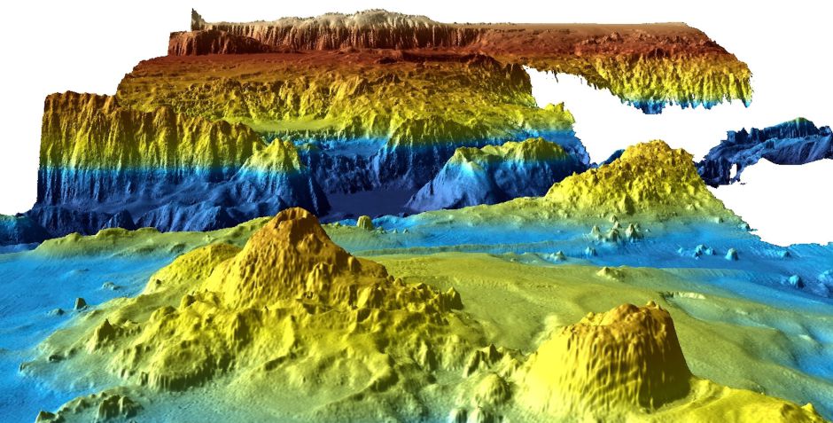
In 2014, Malaysia Airlines flight MH 370 disappeared from radar and a massive search for the missing aircraft ensued. For two years, scientists used sonar to map the seafloor where the plane was thought to have crashed, and then search for any remnan...

Topographic maps illustrate where Twitter’s bird flies highest

Topographic maps illustrate where Twitter's bird flies highest

Not every Twitter user geotags their musings, but there are enough who do to generate some very insightful data. On its blog today, Twitter shared images from Data Visualization Scientist Nicolas Belmonte, who created topographic maps visualizing the density of geotagged tweets. The result is striking, as tweets clearly correlate with roads, geographic features and even lines of public transit. In addition to the blog's stills, you can futz around with interactive maps of New York, San Francisco and... Istanbul. When you realize the implications of all those tweets from the Bay Bridge, it's frightening enough to consider taking BART across the Bay instead.

Filed under: ,

Comments

Source: Twitter Blog

NASA creates the first topographic map of Titan, Saturn’s largest moon

DNP NASA creates the first topographic map of Titan, Saturn's largest moon

Scientists observing Saturn's moon Titan with NASA's Cassini spacecraft have boldly gone where no man has gone before -- visually, anyway. Using radar imagery collected from nine years of Cassini flybys, researchers were able to patch together the first global topographic map of Titan, published in the July 2013 issue of Icarus. Ralph Lorenz, a member of the Cassini radar team at Johns Hopkins, said, "Titan has so much interesting activity -- like flowing liquids and moving sand dunes -- but to understand these processes it's useful to know how the terrain slopes." In particular, understanding the moon's terrain can reveal a lot about its dynamic climate system. Like Earth, Titan's atmosphere is composed primarily of nitrogen, but the liquids and vapors on the moon's surface are made of methane and other organic chemicals integral to the creation of complex life. By studying the relationship between atmosphere and terrain, researchers hope to learn more about the evolution of life in its earliest stages, and inspire curious minds to turn their eyes toward Titan.

Filed under: ,

Comments

Via: Space

Source: Icarus

National Geographic TOPO! maps find their way to Magellan eXplorist GPS devices

National Geographic TOPO! maps find their way to Magellan eXplorist GPS devices

If you're more about the mountainous views, than Mountain View, then you might be pleased to hear that Magellan is bringing National Geographic's TOPO! maps to its eXplorist range of outdoor GPS devices. More specifically the 310, 510, 610 and 710 models. If you like the sound of the full color USGS topographic maps, then they are available on a subscription basis for $30 a year. If you don't already own a Magellan device, however, then you might be more interested in one of the forthcoming TOPO! bundles, if you can find your way to a retailer that is.

Continue reading National Geographic TOPO! maps find their way to Magellan eXplorist GPS devices

National Geographic TOPO! maps find their way to Magellan eXplorist GPS devices originally appeared on Engadget on Wed, 09 May 2012 07:10:00 EDT. Please see our terms for use of feeds.

Permalink   |   | Email this | Comments