
It's not easy being a satellite; permanent imaging gear becomes outdated mere months after launch, and Mother Nature is constantly caught photobombing close-ups, throwing naughty clouds between a lens and the shot. All that makes for some pretty inconsistent online viewing. Fortunately, Google's stepped in to set things straight, combining the magic of photo stitching with the capture power of a brand-spanking-new Landsat 8. The result is a cloud-free planet, enabling millions of web-equipped "explorers" to realize improved aerial views as seen from 438 miles above sea level. It's pretty spectacular, and it's about friggin' time.
Filed under: GPS, Internet, Google
Comments
Source: Google Maps
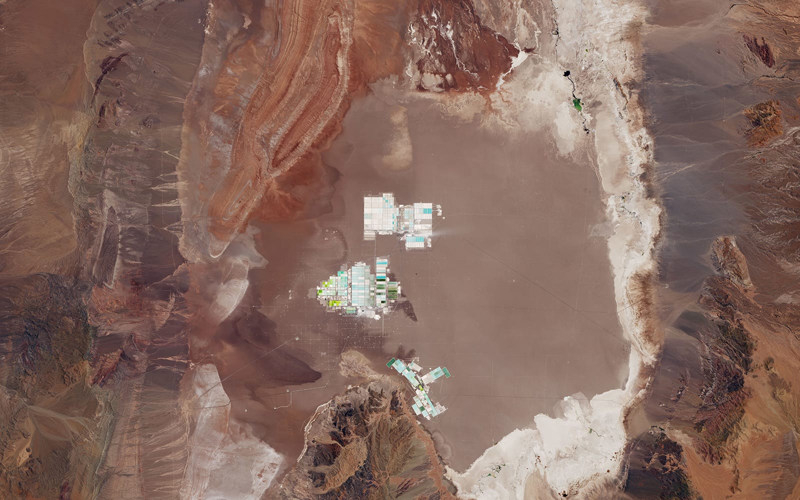 Using Landsat data from the US Geological survey, NASA's Laren Dauphin recently imaged the Salar de Atacama in Chile. The enclosed basin is the world's largest source of lithium, producing 29 percent of the world's reserves. Much of it will wind up i...
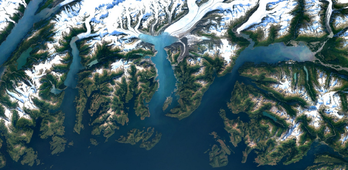 Every few months or so, Google improves the satellite imagery on services like Earth and Maps. Now, as part of its efforts to keep making the experience better for users, the search giant is going to offer higher-resolution virtual views going forwar...
