 A team at Stanford has pioneered a new use of satellite imagery that could help its home state avoid future water supply issues. Previous Stanford research had already proved satellite images (specifically Interferometric Synthetic Aperture Radar) of...
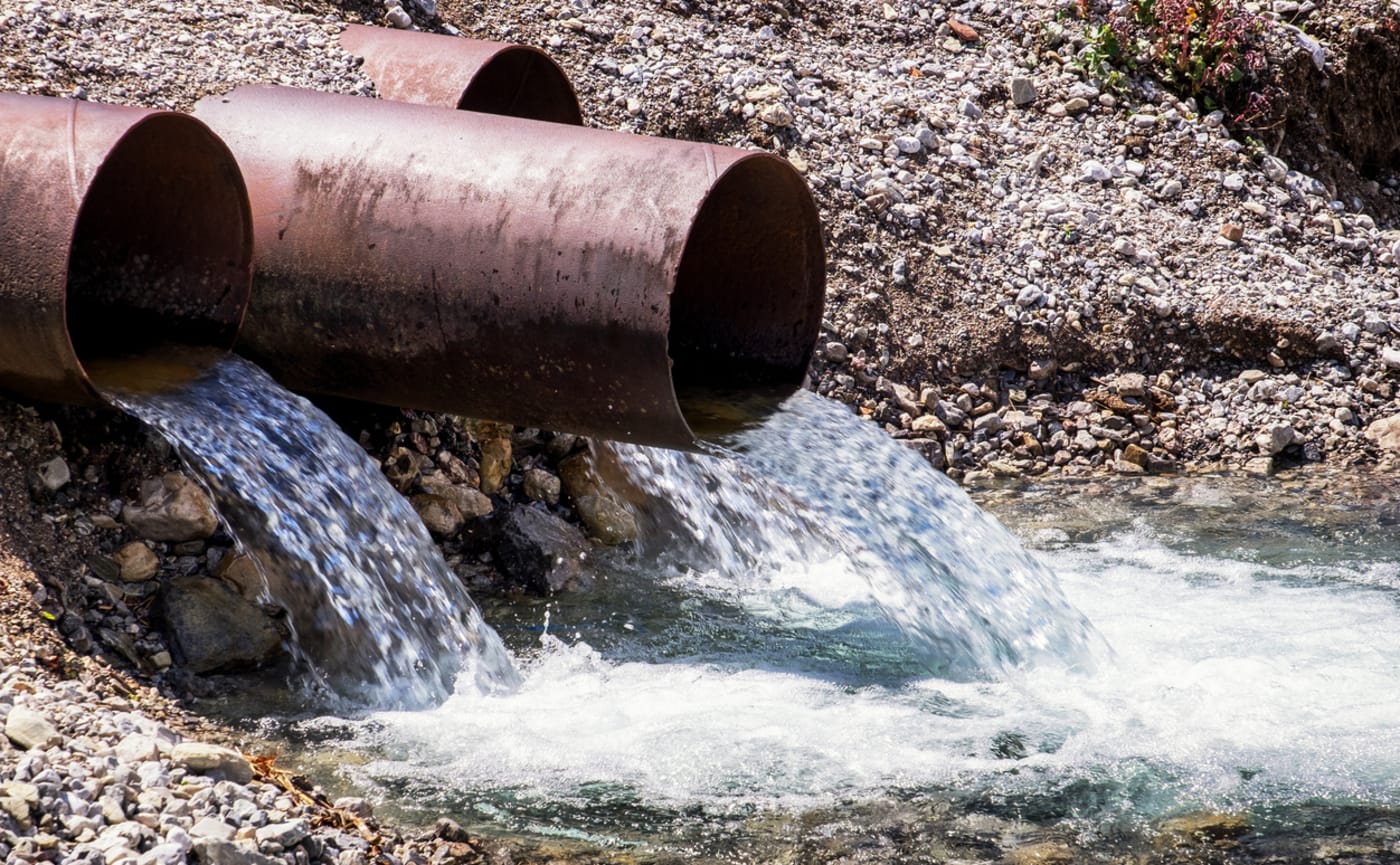
Stanford looks to the skies to calculate underground water
A team at Stanford has pioneered a new use of satellite imagery that could help its home state avoid future water supply issues. Previous Stanford research had already proved satellite images (specifically Interferometric Synthetic Aperture Radar) of...