 LiDAR is having a moment right now helping self-driving cars and robots not hit things, but don't forget about what else it can do. In a study called The Bare Earth, scientists from the Washington Geological Survey used it to image the ground right d...
LiDAR strips landscapes down to their bare glory
LiDAR is having a moment right now helping self-driving cars and robots not hit things, but don't forget about what else it can do. In a study called The Bare Earth, scientists from the Washington Geological Survey used it to image the ground right d...
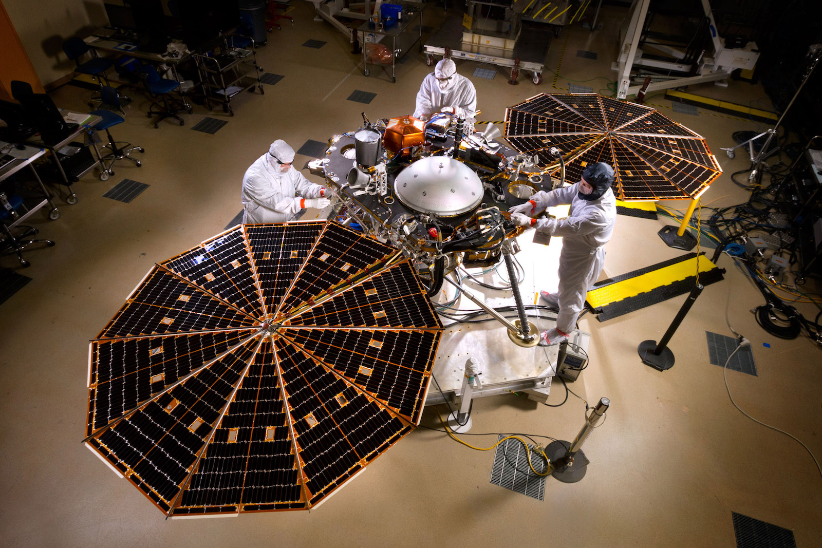 The InSight (Interior Exploration using Seismic Investigations, Geodesy and Heat Transport) lander has passed its last major environmental test ahead of a planned May 2018 launch to Mars. The thermal vacuum testing, or TVAC, lasted two weeks and simu...
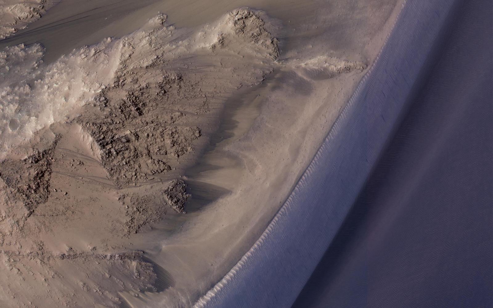 In 2015, scientists analyzing mysterious dark streaks on the surface of Mars found evidence that they were formed by liquid water -- an exciting discovery that meant microbial life might be supported on the planet. But new findings published this wee...
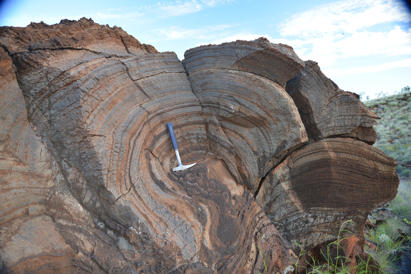
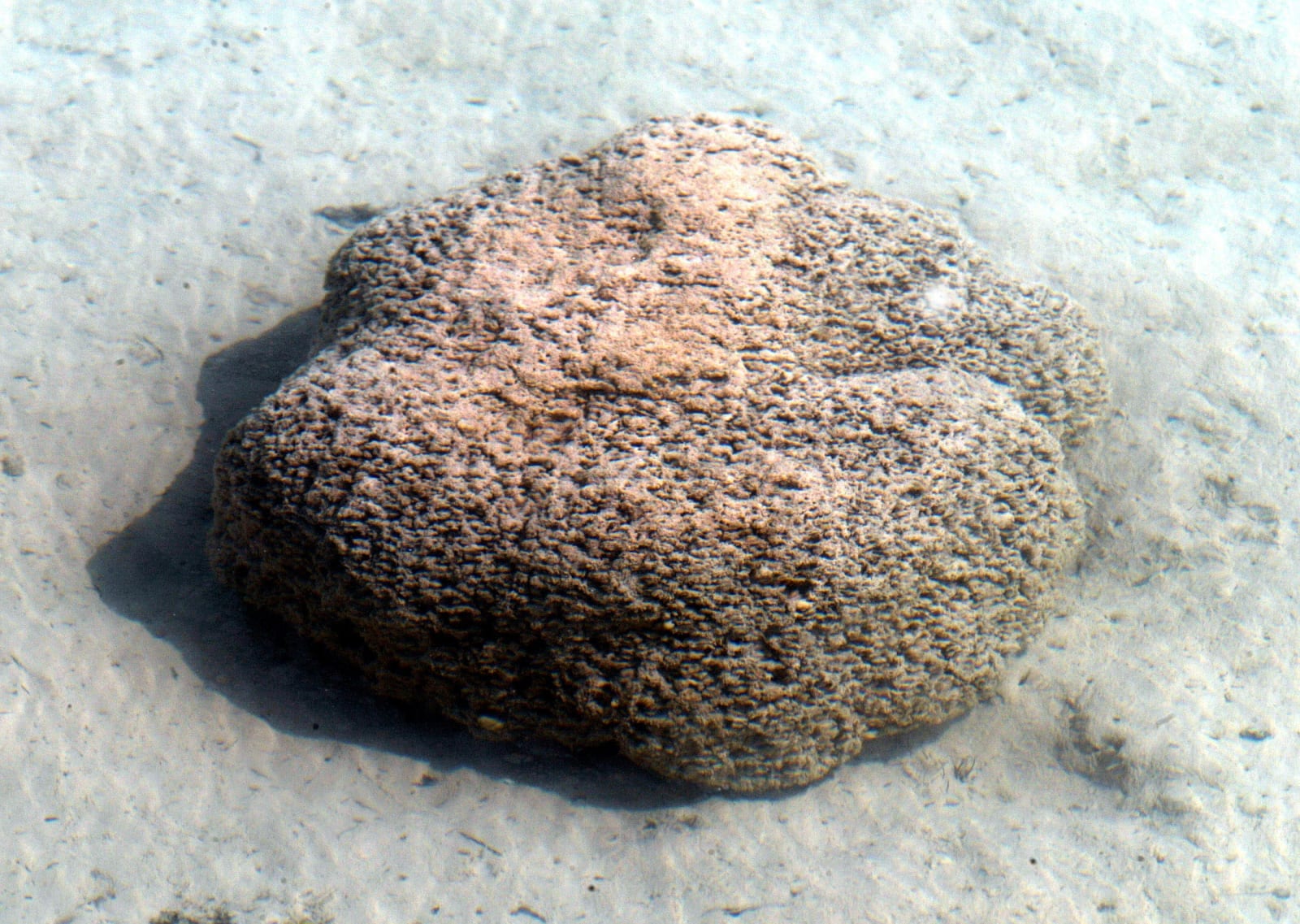 Sometimes facts from the ancient world aren't hidden in fossils or subterranean rock -- they're found across a massive range of ordinary data. Scientists started a project to discover when a unique type of rock formation, stromatolites, stopped formi...
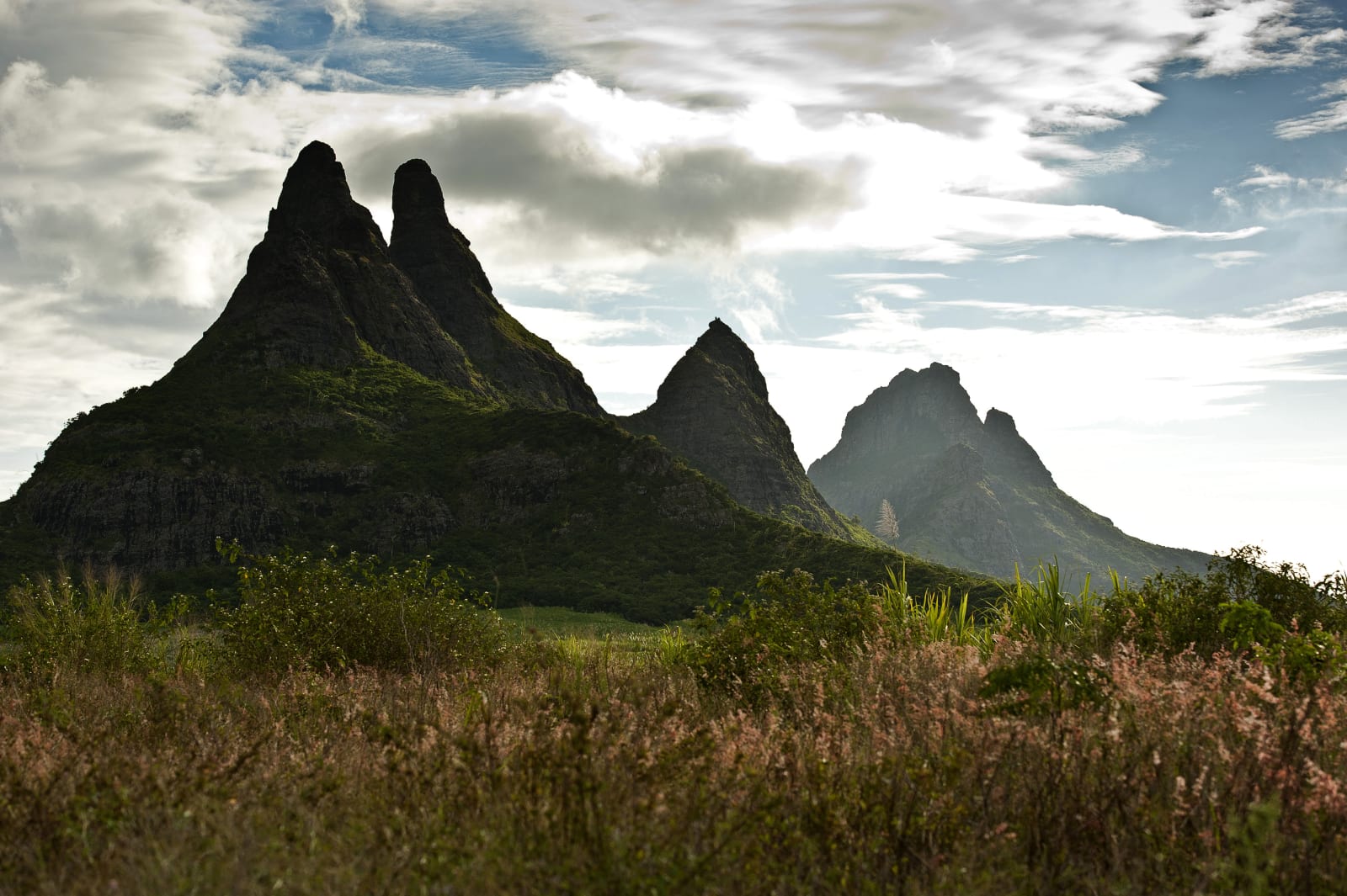
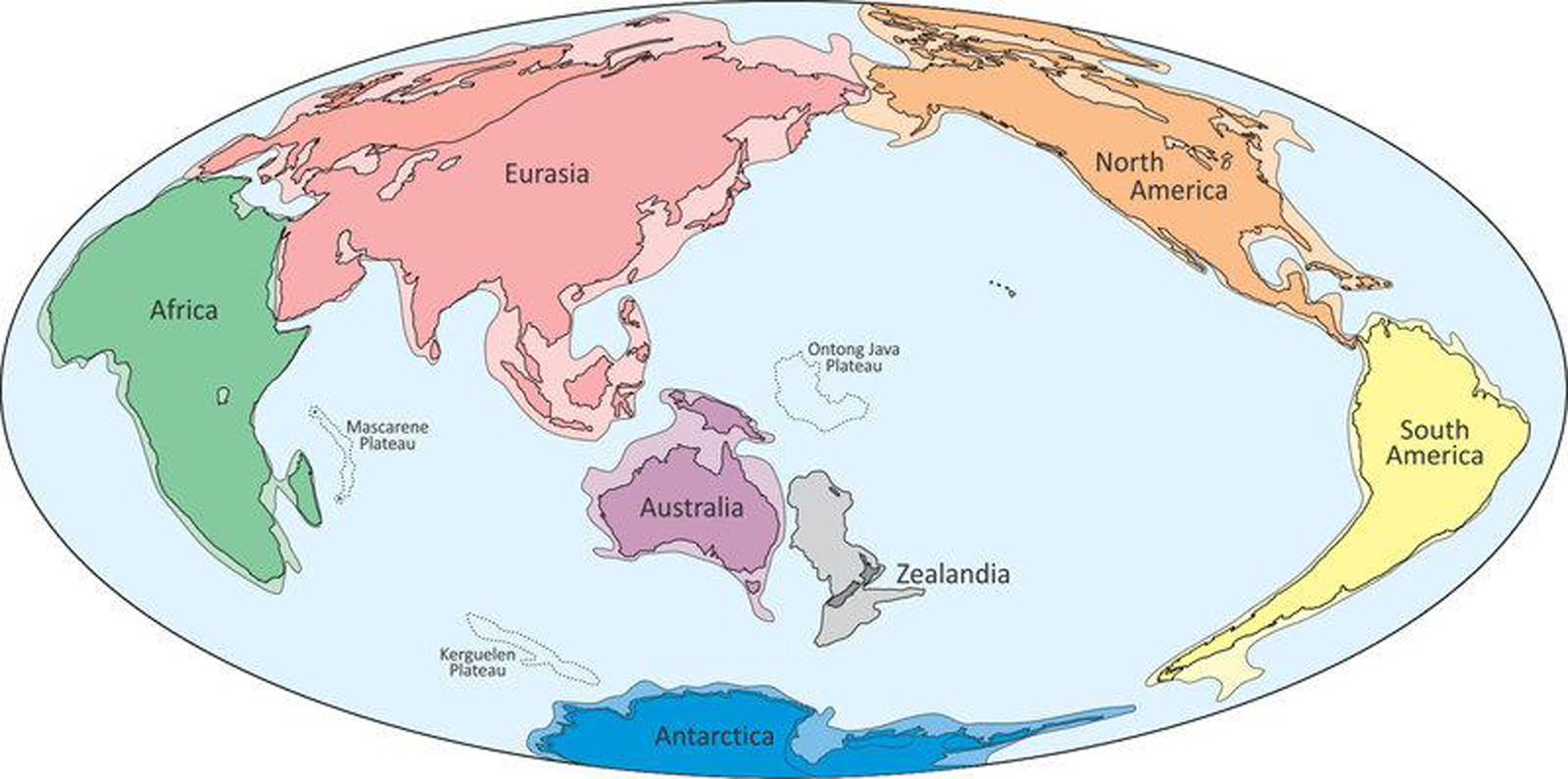 Who knew that finding hidden continents was a trend? Researchers now say they've confirmed the existence of Zealandia, a giant land mass (roughly two thirds the size of Australia) hiding in the Pacific Ocean -- as you might guess, New Zealand is its...
 As much as we humans think we know about Earth's ancient composition, it's clear we have a lot to learn. Researchers now say they have evidence of a lost continent, Mauritia. The team found rocks on Mauritius with embedded zircon crystals that were...
 To date, Earth has been the only planet in the Solar System known to demonstrate tectonic activity. Other planets are geologically active, but not much more than that. However, it now looks like our homeworld isn't alone. Smithsonian researchers c...
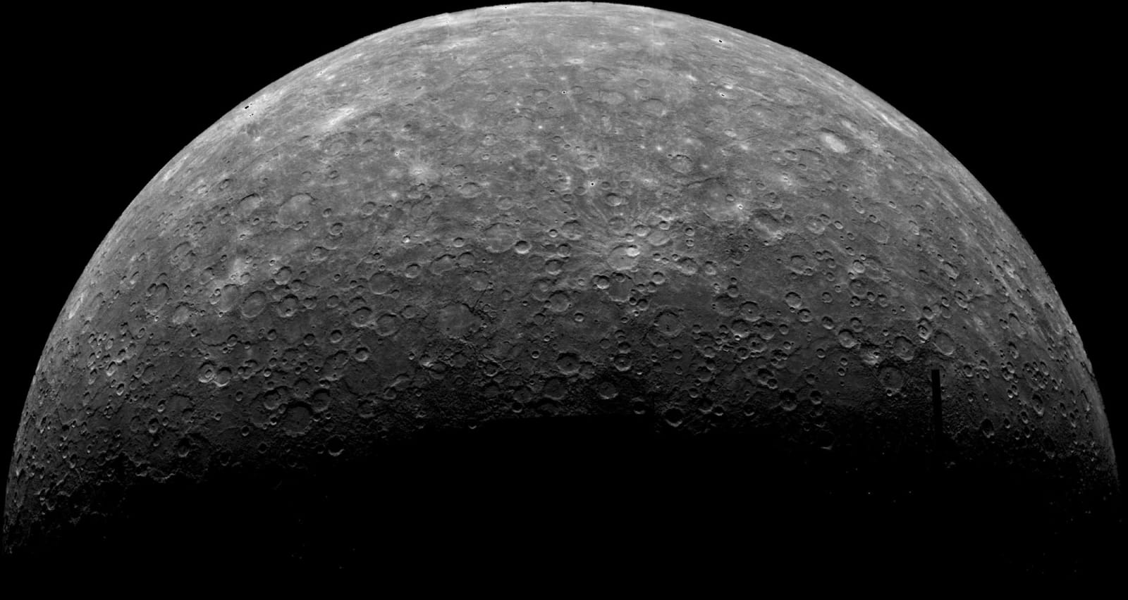
 The prevailing wisdom is that Mars has long been a stable planet. Without tectonic plates, it didn't have the violent upheavals that lead to earthquakes and explosive volcanoes here on Earth... did it? Not so fast. Scientists combing over data fro...
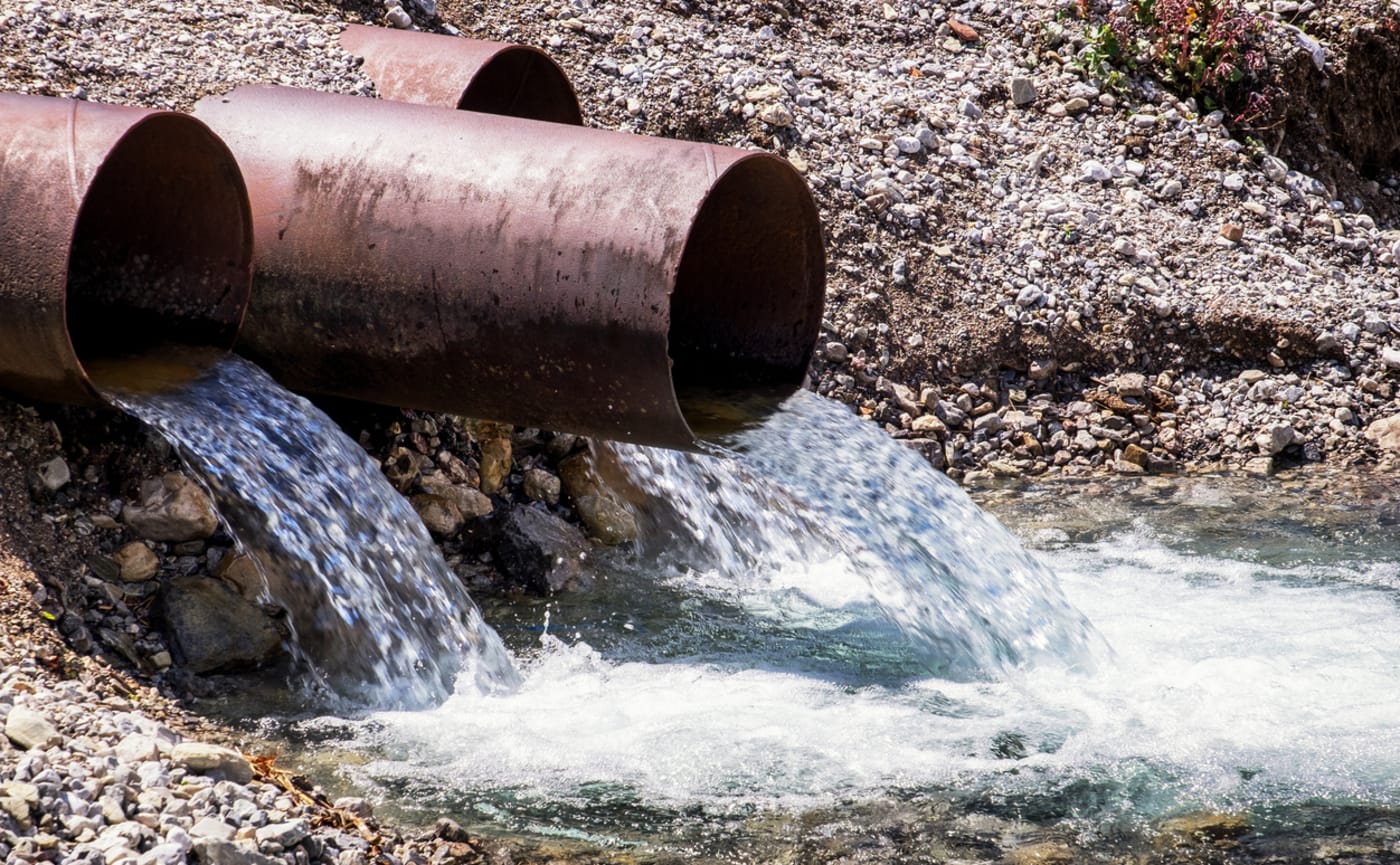 A team at Stanford has pioneered a new use of satellite imagery that could help its home state avoid future water supply issues. Previous Stanford research had already proved satellite images (specifically Interferometric Synthetic Aperture Radar) of...
 Scientists have long postulated that the early Earth's atmosphere must have had considerably higher pressure than it does today, since the sunlight was fainter. However, researchers have made a discovery which suggests that this theory is way off the...