
This technically isn't Garmin's first foray into Android territory, but it could prove to be one of the most successful. The navigation company's just introduced Monterra, a dedicated handheld GPS running a TBA version of Android. Basic specs are in line with what you'd expect from a mid-range smartphone, including a 4-inch touchscreen, an 8-megapixel camera with flash and geotag support, 1080p video capture, 6GB of internal storage and microSD expansion. Naturally, the display is optimized for outdoor use -- it's transflective, so you only need to use the LED backlight in low light, letting you conserve power during daytime river treks and sunlit hikes.
The device is ruggedized, with an IPX7 waterproof rating, and can run on either a rechargeable battery pack (included) or AA batteries. It includes WiFi, ANT+, Bluetooth 3.0, NFC, a built-in FM radio with NOAA weather and SAME alerts, dual-band GPS and GLONASS receiver, a 3-axis compass with accelerometer and gyro, a UV sensor for monitoring the sun's intensity and a barometric altimeter, which can report altitude and predict weather based on pressure shifts. There's also a handful of preinstalled apps designed to take advantage of this plethora of connectivity, including Europe PeakFinder, or you can download favorites from Google Play -- anything from farming aids to efficiency trackers can utilize many of Monterra's bundled sensors. The device is expected to ship in Q3, and should run you about $650 in the US or £600 in the UK.
Filed under: GPS
Comments
Source: Garmin
 Twitter has announced it will be removing the ability to tag your precise location from tweets. In a tweet from its support account, the company explained that most users didn't use the location-tagging feature and removing it would "simplify" the tw...
 In continuing its attempt to be just like Twitter, Reddit will now let you tag posts with your location. The optional feature, powered by Foursquare, is launching today on Reddit's mobile app.
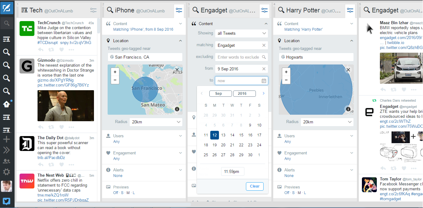 Twitter spews an amazing volume of information into the world, yet its search function has never been precise. To be fair, it's faced far greater pressure to combat abuse, like it did releasing tools to cut trolls out of notifications last month. Tod...


