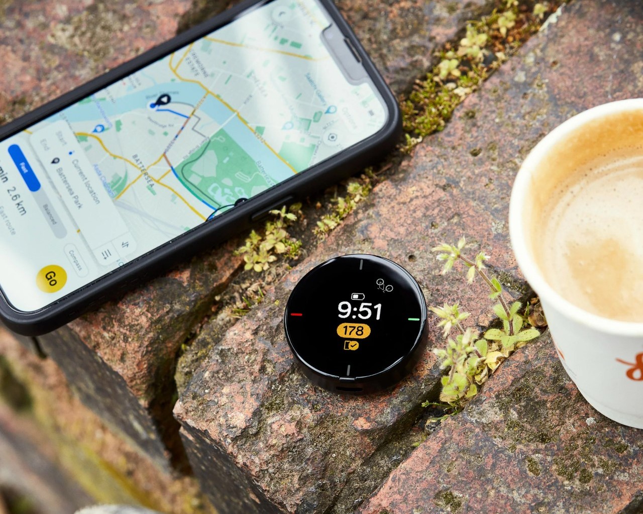
![]()
GPS trackers are one of the few gadget categories that never really got the design treatment they deserved. Most are anonymous pucks or plastic fobs, optimized for function and ignored for everything else. You clip one to your keys or tuck it in a bag, and that’s the end of the relationship. The object itself rarely asks to be noticed.
GoTag is a concept that takes that neglect seriously. Designed as a compact GPS tracker, it approaches the form with the same level of intention usually reserved for earbuds or wearables, where how something looks and feels in hand matters as much as what it does. The result is a small device that feels considered rather than simply manufactured.
Designer: Swaroop Indani
![]()
![]()
The design began with a wide range of sketch explorations, testing different forms and silhouettes before settling on the final egg-like shape. Foam models were made and held during the process, which helped confirm proportions and surface breakup in a way that drawings alone couldn’t. That in-hand testing shaped the balance between the smooth upper zone and the textured lower half.
![]()
![]()
The finished form splits into two distinct zones. The upper half is smooth and slightly glossy, carrying a single circular “GO” button for all interactions. The lower half switches to a dense micro-diamond texture that adds grip and changes how the material catches light. A small LED sits flush in that lower section, while a woven fabric loop at the top connects to any carabiner, keychain, or bag strap.
![]()
![]()
The concept comes in several colorways, each pairing a lighter upper tone with a darker lower section of the same color family. Orange over black, lavender over deep purple, sky blue over navy, white over lime green, and pink over rose are among the variants shown. Each combination reads as a different product personality while sharing the same silhouette, which is exactly the point.
![]()
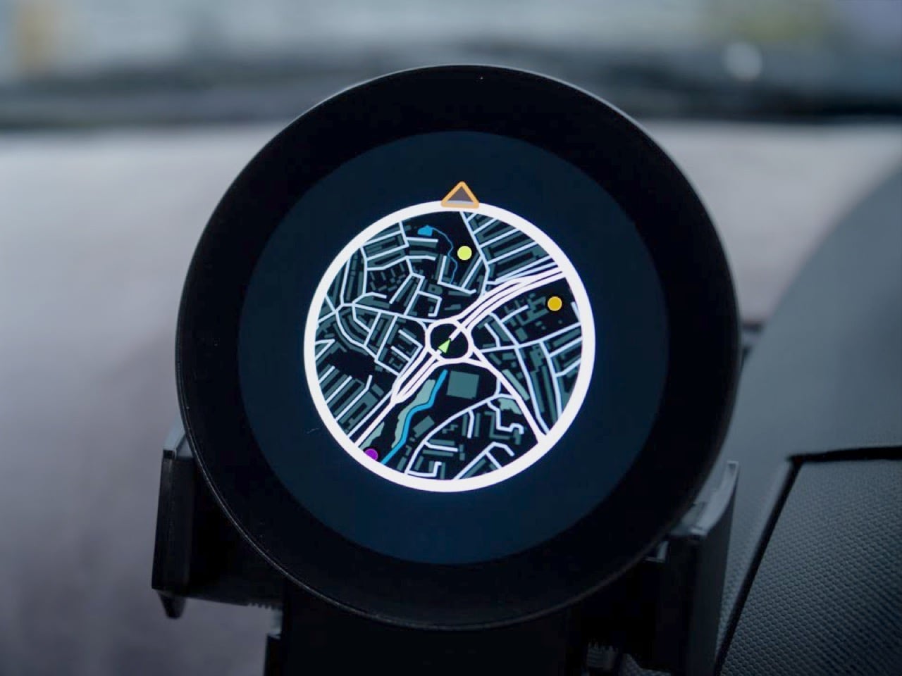
The woven fabric loop slides onto a carabiner, clips over a bag zipper pull, or threads through a keyring. That flexibility matters for something meant to move with you across bags, jackets, and gear rather than stay in one fixed place. Tracking a camera bag on a trip, or keeping tabs on a child’s backpack, both fit within what the compact form makes genuinely easy to carry.
![]()
![]()
![]()
The GoTag reads as friendly and minimal from a distance but rewards closer inspection with texture transitions and material depth that most trackers skip entirely. The surface boundary between smooth and textured zones is deliberate and precise, giving the object a quality of craft that usually belongs to audio accessories or small cameras. There’s clearly room to treat the object as something worth picking up and looking at, rather than something you set and forget.
![]()
The post GoTag Is the GPS Tracker Concept That Actually Looks Like It Matters first appeared on Yanko Design.